
Try it here: https://stefanutti.vercel.app and then select waterworld-colonization 🙂
It all started with this drawing, an idea and an algorithm.
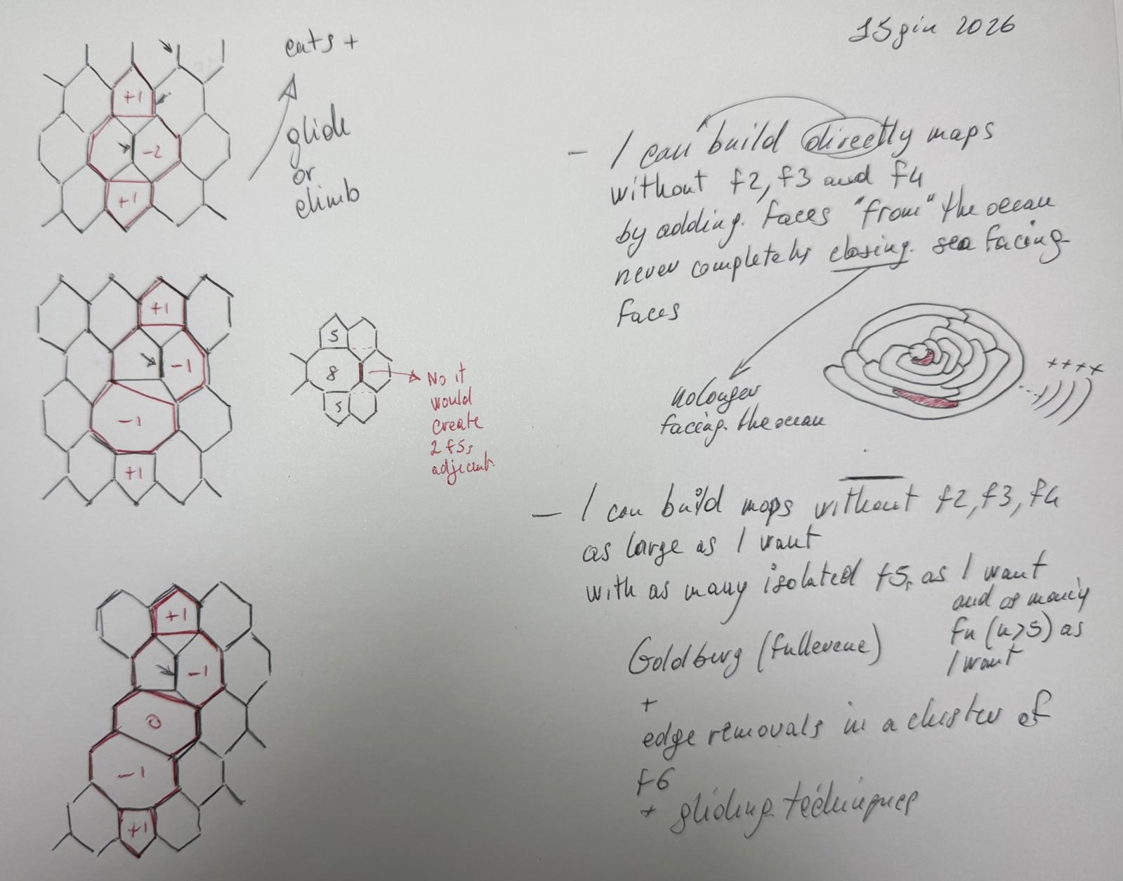
And with the help of AI and computers, the very enemies I am trying to defeat here :-), see the creation of maps without F2, F3, or F4.
Watch a planar map grow, live, on a sphere, visualizing the combinatorics behind the Four Color Theorem.
This is an interactive visualization of a growing cubic planar map, rendered on a fixed-size sphere (“Waterworld colonization”). It starts from the simplest possible thing: a single face floating in an empty ocean, no vertices, not yet a graph at all. The first move already sets the pattern for every move after it: a new border is drawn across the current coastline, adding one region, like a coastline advancing across the ocean.
Each new region follows simple combinatorial rules:
- A sealing rule guarantees no region with fewer than 5 sides ever gets fully enclosed (“buried”) by its neighbors, a key structural invariant used in Four Color Theorem style reduction arguments.
- The running quantity Σ(6−n) * Fₙ − C = 6 is tracked live in the “Ship’s log” panel and stays mathematically invariant at every single step, no matter how the coastline grows, a live visual proof of this invariant.
The camera is fully interactive: drag to orbit the globe, scroll or pinch to zoom, and use the Start/Stop and speed controls to watch the island grow at your own pace. Growth halts automatically once the island has expanded to fill the sphere.
PS: Once again, I came across many incredible stories of people chasing their dreams.

